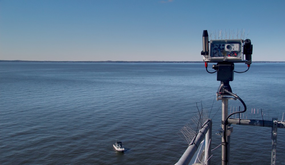
The by VLIZ developed PANTHYR instrument is playing a key role in enhancing satellite observations for marine environmental monitoring. The installation in Chesapeake Bay (USA), not only measures water quality but also validates crucial satellite data of NASA’s newest PACE mission.

The PANTHYR instrument, developed by VLIZ, has been operational since September 2024 in Chesapeake Bay (USA). Installed on a 30-meter-high tower, it continuously measures the color and clarity of the water surface. This data is crucial for tracking changes in water quality, such as harmful algal blooms, and supports climate research. It also plays an essential role in validating satellite data from NASA’s PACE mission, which investigates the ocean and atmosphere.
PANTHYR – in full the Pan-and-Tilt Hyperspectral Radiometer – is part of the WATERHYPERNET network, a global system of automatic monitoring stations that enhance satellite observations. WATERHYPERNET was developed by RBINS and VLIZ and supported by the European Space Agency (ESA). The Chesapeake Bay station is the first in North America, providing vital information on the ecosystem and water quality in the region.
The success of this project is due to the collaboration between UMBC, NASA, VLIZ and RBINS. The PANTHYR instrument collects detailed data every 20 minutes on light interaction with the water surface, helping scientists better understand and improve satellite data. The installation of PANTHYR exemplifies how technology and collaboration are helping to preserve our oceans and coasts.


