26 / 02 / 2018

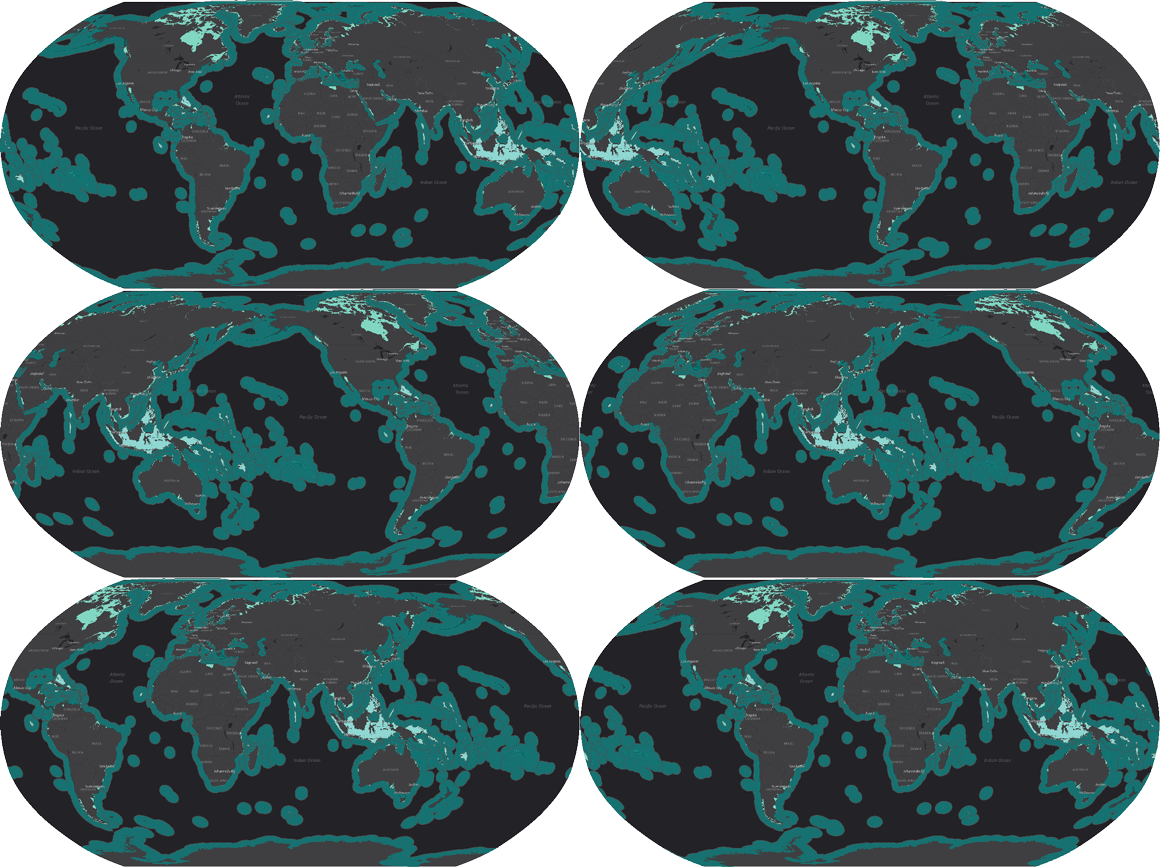
The free downloadable Maritime Boundaries polygons include the Exclusive Economic Zones, the 12 & 24 Nautical Miles zones, the internal and archipelagic waters. The polylines dataset included in the download package is composed by treaty, median, and connection lines. All the different attributes and their respective sources are documented in the shapefile's attributes.
In addition to shapefiles, MarineRegions.org also contains many checklists of maritime geographic objects, such as all marine Natura 2000 areas and marine UNESCO World Heritage sites, the underwater locations described by GEBCO (General Bathymetric Chart of the Oceans), the sea areas identified by the International Hydrographic Organization (IHO) etc.
Among the almost three hundred thousand unique visitors of the MarineRegions.org website, we count researchers and educators, the maritime industry, non-governmental organisations, marine managers and regional authorities.
Get started and discover the multitude of shapefiles and checklists!
* Marine Regions has been developed for users from the scientific, educational and research fields. For these users, the products of Marine Regions are subject to a Creative Commons license (CC-BY-NC-SA). Marine Regions is not intended to be used for legal, economic (in the sense of exploration of natural resources) or navigational purposes.