20 / 05 / 2021
(Source: MarineTraffic.com)
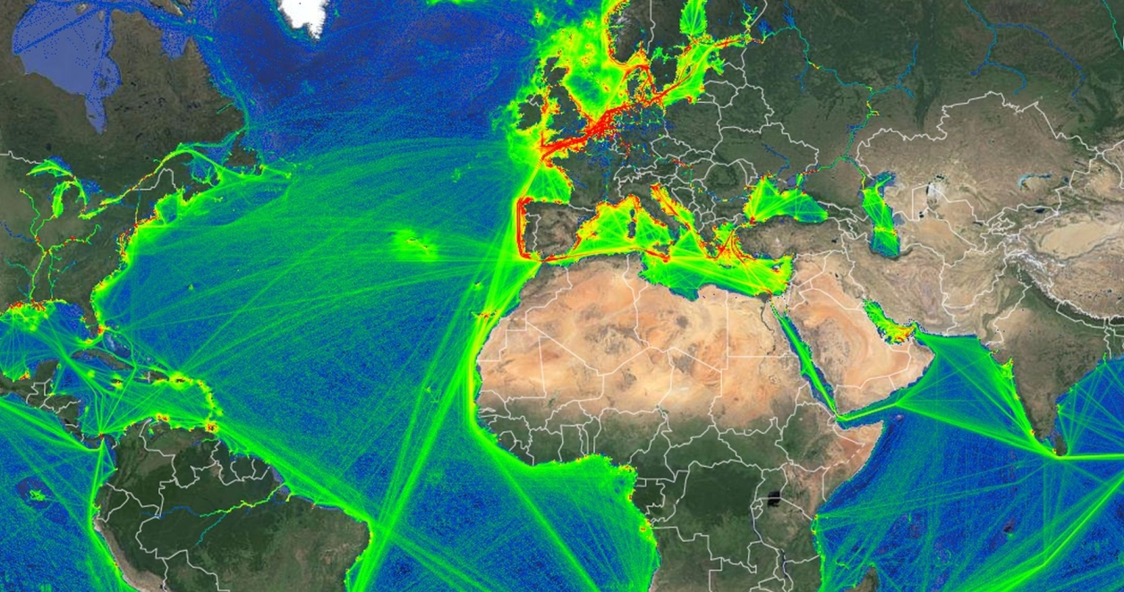
The MarineRegions' global Exclusive Economic Zones (EEZs) dataset , which was originally published in 2006, is currently already in its 11th version and visualises the oceans and seas belonging to coastal states. The EEZ dataset and its derived products are increasingly being adopted by a wide range of users, from researchers over industry to journalists. The display of these boundaries in MarineTraffic significantly enhances the analysis possibilities for the MarineTraffic users and enables geofencing of vessels to all those areas.