| Publications | Institutes | Persons | Datasets | Projects | Maps | ||
|
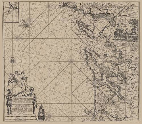
Van Keulen (1728, kaart 69)
Description Pascaart Vande Zeekusten Van Aunis en Saintogne Beginnende van Ollone tot Aande Rievier Van Bordeaux Nieuwelycks opgestelt door Vooght Geometra = Carte Marine des Costes de Aunis et Saintogne depuis Ollone Jus'qua La Rivierre des Bordeaux Nouvellement Composé Par Vooght Geometra
Datum :1728
Plaats: Île de Ré, Île d'Oléron, Poitou-Charentes, Monding van de Gironde
JPG file - 4.07 MB - 7 121 x 6 228 pixels
added on 2011-08-031 547 viewsFrom reference Voogt, C.J.; van Keulen, J. (1728). De Nieuwe Groote Lich... (page [249])
Click here to return to the thumbnails overview |

