| Publications | Institutes | Persons | Datasets | Projects | Maps | ||
|
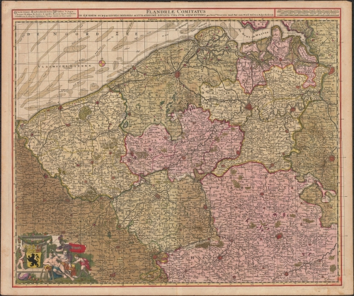
Flandriae comitatus in ejusdem subjacentes ditiones accuratissime divisus una cum adjacentibus
Description The distortion grid and the displacement vectors provide a representation of the geometric accuracy of the map and were generated using MapAnalyst (Jenny & Hurni 2011).
JPG file - 5.66 MB - 5 000 x 4 183 pixels
added on 2016-03-18252 viewsMap based on Jenny, B.; Hurni, L. (2011). Studying cartographic herita...
This work is licensed under a Creative Commons Attribution-NonCommercial-ShareAlike 4.0 International License
Click here to return to the thumbnails overview |

