Photo Gallery

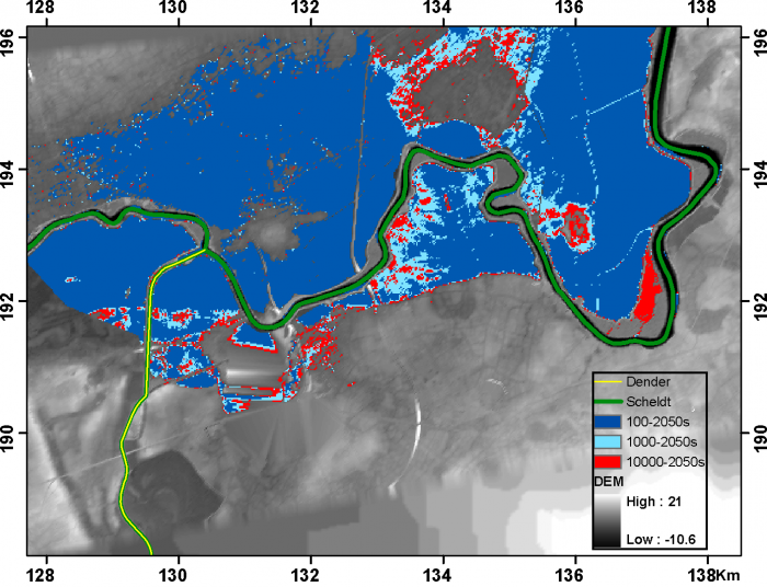
Flood hazard maps 2050s
Description Flood hazard maps 2050s for return periods of 100, 1000 and 10000 years, for the Dendermonde area at the Scheldt – Dender confluence.
Authors: Victor Ntegeka, Patrick Willems, Jaak Monbaliu
PNG file - 311.59 kB - 1 411 x 1 082 pixels
added on 2012-06-15366 views
This work is licensed under a Creative Commons Attribution-NonCommercial-ShareAlike 4.0 International License
Click here to return to the thumbnails overview


