
Products
Public deliverables
PEGASO IRA
Description of the Tools
- Task 4.1. Indicators to measure sustainable development of coast and sea
- Task 4.2. Coastal land and marine ecosystem accounting
- Task 4.3. Scenarios
- Task 4.4. Participatory methods
- Task 4.5. Economic assessment and social valuation
- Task 4.6. Integration work: towards an interactive toolbox
- Guidebook on a foresight exercise for decision-makers
With two examples of application of ICZM in Nile delta northern lages (Egypt; PEGASO workshop; 2013) and on priorities in research and development for aquaculture in Indonesia (Ghent University; 2008)
Guide pour l'atelier de formation à la prospective appliquée
Avec deux exemples d'application sur la gestion intégrée des lacs du bas-delta du Nil (Egypte; Atelier PEGASO; 2013) et sur les priorités de la recherche et du développelent en aquaculture en Indonésie (Université Gand; 2008)
Concept notes
Reports
Deliverables
WP1- D1.1A - Project Management Plan
- D1.4A - Project Periodic Report (1st February 2010 - 31st July 2011)
- D1.4B - Project Periodic Report (1st August 2011 - 31st January 2013)
- D1.4C - Project Periodic Report (1st Febrary 2013 - 31st January 2014)
- D1.5 - Guidelines for the management of a FP7 project
- D2.1A - Integrated Coastal Zone Management and the Ecosystem Approach
- D2.1B - Common conceptual framework for the implementation of ICZM based on the review of current issues
- D2.1C - Common conceptual framework for the implementation of ICZM based on the review of current issues
- D2.2A - Final global results of the stock-taking & Appendixes
- D2.2B - Draft recommendations to the Bucharest Convention
- D2.3 - Report on existing marine and coastal related science and research projects and their main results
- D2.4A - PEGASO ICZM Platform: Guidelines and lessons learned
- D2.4B - Business Plan
- D3.1 - Report on the inventory of participant's and main relevant EU projects data and SDI, with a quality assessment and identification for needed actions on harmonisation tasks
- D3.2.1 - Guidelines for building the PEGASO SDI
- D3.2A - Report on the Mediterranean and Black Sea assessing SDI including existing viewers, their strength and limits, and the characteristics of PEGASO geoportal development.
- D3.2B - Guidelines and training material for the SDI construction, geoportal and geonodes functionalities, included data harmonisation and interoperability, following INSPIRE principles, specially oriented towards capacity building with prototype.
- D3.3.A - Coastal and marine atlas for the Mediterranean and the Black Sea.
- D4.1 - Report and accompanying fact sheets documenting a populated core set of indicators for assessing progress towards sustainable development in the coastal zones of the Mediterranean and Black Sea Basins
- D4.2 - Report, accompanying database and supporting materials on LEAC methodology and how to apply it in CASES
- D4.3 - Scenarios Tools for ICZM: Lessons and Applications
- D4.4 - Report, accompanying supporting materials and guidelines for the use of participatory methods and application for multi-scale ICZM across the Mediterranean and Black Sea Basins
- D4.5 - Report and supporting materials to economic assessment metods to decision making within the coastal zones of the Mediterranean and Black Sea Basins
- D4.6 - Integrating assessment scheme for Mediterranean and Black Sea regions
- D5.1A - CASES reporting (10 CASEs at end of the 5 Phases: preparatory, Phase 1, Phase 2, Phase 3 and Conclusions) including comparison amongst CASEs and relevance of CASEs in the whole basin.
D5.1B - Evaluation report on CASEs multi sector, multi administrative and multi scale work, Integrated approach method in CASEs.- Part 1 - Introduction, CASEs coordination, the Mediterranean Sea Basin, Al Hoceima CASE, Bouches-du-Rhone (France), North Adriatic (Italy)
- Part 2 - Cyclades Archipelago (Greece), Nile Delta (Egypt)
- Part 3 - North Lebanon Coastal Zone (NLCZ)
- Part 4 - Köycegis-Dalyan Specially Protected Area (Turkey)
- Part 5 - The Black Sea Basin and ICZM, Guria Coastal Region (Georgia), Sevastopol Bay (Ukraine), Danube Delta (Romania)
- D5.2A - Report on the Mediterranean and Black Sea Basin Regional Participatory Assessment including Fact sheets showing the integration, outcomes and conclusions in addition to recommendations and Policy options in the region.Guidelines for Maritime Spatial Planning in response to policy options
- D5.2B - Guidelines for Maritime Spatial Planning in response to policy options
- D5.2C - Guideline on ICZM in the Black Sea (preliminary draft)
Training and tutorials
- Videos
- WP2: Shared ICZM governance Platform for Mediterranean and Black Sea basin
- WP3: Enabling a shared information infrastructure for Mediterranean and Black Sea basins
- WP4: Multi-scale tools, methods and models for integrated assessment
- Selection and application of the PEGASO ICZM Indicators
- Land and Ecosystem Accounts (LEAC)
- Land and Ecosystem Accounts applications for ICZM support in the Mediterranean and Black Sea Coastal areas
- Seascape ecology: spatial metrics as a decision-support tool
- Sea ecosystem accounting (SEAC)
- PEGASO, Mapping cumulative impact of human activities on coastal and marine ecosystems (CIM)
- Participation in PEGASO
- PEGASO Project, Economic assessment to support ICZM Processes
- Economic assessment methods to decision making within the coastal zones of the Mediterranean and Black Sea Basins - Part A - Degradation Costs
- Economic assessment methods to decision making within the coastal zones of the Mediterranean and Black Sea Basins - Part B - The regional dimension
- Integration of assessment tools. Integrating assessment scheme for Mediterranean and Black Sea Regions
- WP 5: Collaborative applications at various scales and Integrated Regional Assessment for Mediterranean and Black Sea basins
- Training action plan
- Overview of the PEGASO Training Sessions (calendar)
- Post training evaluation
Dissemination
E-news
- November 2011
- January 2012
- March 2012
- May 2012
- July 2012
- October 2012
- January 2013
- April 2013
- July 2013
- November 2013
Newsletters
- Newsletter (July 2010)
- Newsletter 1 (March 2012): English - French
- Newsletter 2 (September 2012): English - French
- Newsletter 3 (December 2012): English - French
- Newsletter 4 (April 2013): English - French
- Newsletter 5 (September 2013): English - French
- Newsletter 6 (March 2014): English - French
Bulletins
- Bulletin 1 (July 2010): English - French - Russian - Turkish
- Bulletin 3 (July 2011): English - Arabic - French - Russian - Turkish
Brochures
- Project leaflet
- Project brochure
- Brochure on SDI
- Brochure on CASES
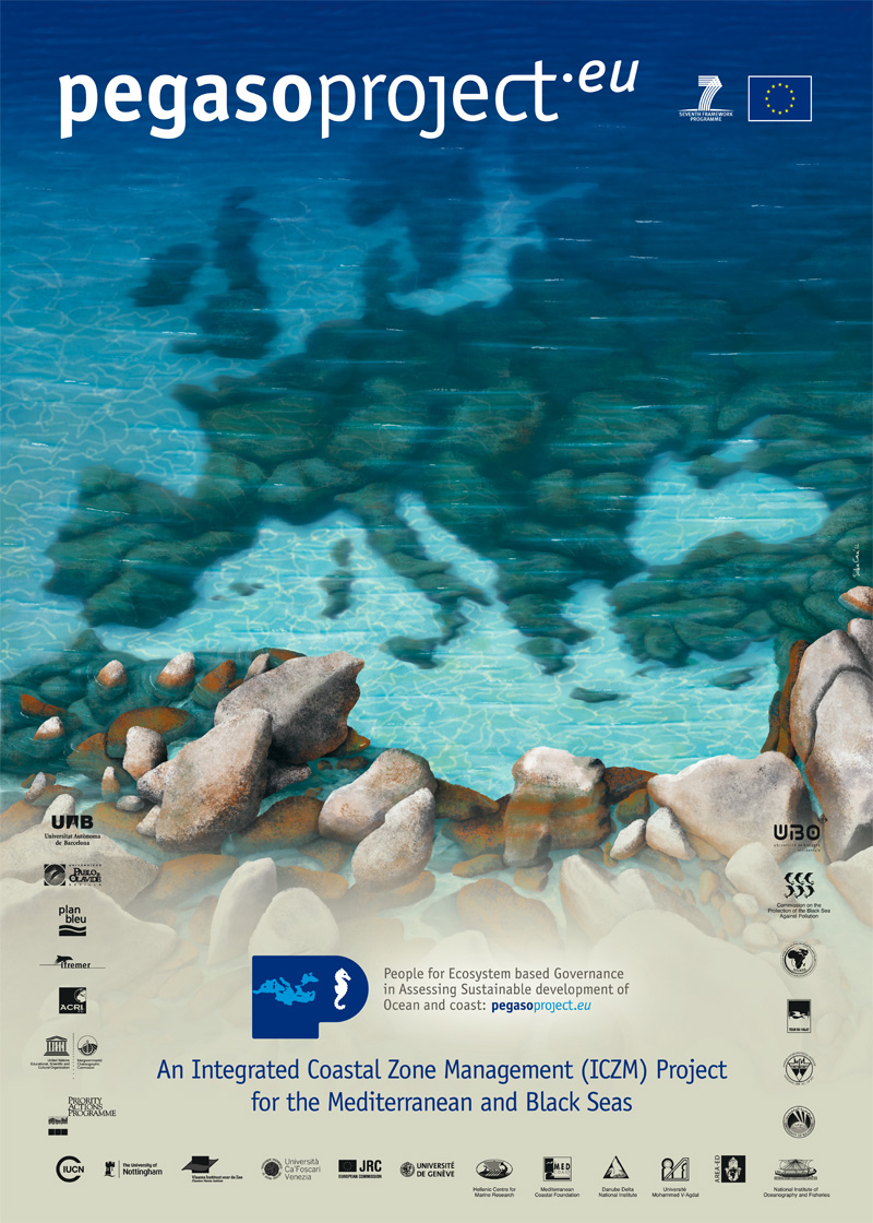
Posters
Indicator factsheets
INDICATORS FOR INTEGRATED COASTAL ZONE MANAGEMENT (ICZM) : Methodological Factsheets in support of comparable measurements and an integrated assessment in coastal zones
The ICZM Protocol for the Mediterranean Sea (the 'ICZM Protocol'), signed in Madrid on 21 January 2008 and ratified on 24 March 2011, represents a milestone for the implementation of ICZM in the Region and can serve as a blueprint for the implementation of ICZM in other Regional Seas. The PEGASO project builds on existing capacities and develops common approaches to support integrated policies for the Mediterranean and Black Sea Basins in ways that are consistent with the ICZM Protocol.
The PEGASO project has developed a core set of indicators that are instrumental in measuring the implementation of ICZM policies and programmes. The core set of ICZM indicators addresses the specific requirement of Article 27 of the Protocol to 'define coastal management indicators' and 'establish and maintain up-to-date assessments of the use and management of coastal zones'. In doing so, the PEGASO project has widely built on previous and existing indicator sets developed by different institutions and projects, and which are duly acknowledged (see 'Methodological paper for the selection and application of PEGASO ICZM indicators' for further reading and background material)
The present Methodological Factsheet is part of a set of 15 factsheets that are made available to end-users. This set of factsheets is conceived to support a harmonized approach to calculate ICZM indicators at different spatial scales in the Mediterranean and Black Sea regions.
Tools
- Task 4.1. Indicators to measure sustainable development of coast and sea
- Task 4.2. Coastal land and marine ecosystem accounting
- Task 4.3. Scenarios
- Task 4.4. Participatory methods
- Task 4.5. Economic assessment and social valuation
- Tool: Environmental Territorial Diagnosis
- Tool: Degradation Costs Based Approach
- Task 4.6. Integration work: towards an interactive toolbox

